Project portfolio

Projects in northern Sweden

The Company’s principal project, Stortjärnhobben, lies in southern Lapland along the Gold Line, the collective name for the mineral-rich areas around Sorsele, Storuman and Lycksele. The other exploration permits are spread across northern Sweden, from Lapland in the north to Hälsingland in the south.

Exploitation concession
1
Stortjärnhobben · 22 ha
Exploration permits
9
7 gold, 2 zinc/Cu/Ag
Target, not current resource
500 koz
target 15.5 tonnes · current resource 4.6 tonnes
Lappland Guldprospektering: project map (KML, WGS84) THE GOLD LINE Tectonic zone · the Company's delineation Skellefteå Umeå Östersund Sundsvall NORRBOTTEN JÄMTLAND HÄLSINGLAND Sorsele cluster · exploration permit Sorsele cluster exploration permit Jägarliden nr 101 · exploration permit Jägarliden Ytterberget · exploration permit (zinc, copper, silver) Ytterberget zinc, copper, silver Löparen · exploration permit Löparen Stortjärnhobben · exploitation concession Stortjärnhobben exploitation concession Graninge · exploration permit Graninge Nya Gilleberget · exploration permit Nya Gilleberget LEGEND Exploitation concession Exploration permit, gold Exploration permit, base metal The Gold Line (schematic) 0 50 100 km N Coordinates: the Company's My Maps (KML, WGS84) · outline Natural Earth 1:50M

Coordinates from the Company's map (KML, WGS84). Outline: Natural Earth 1:50M.

Stortjärnhobben

Principal project · Storuman Municipality, southern Lapland · exploitation concession granted
Read more →
Inferred Mineral Resource
4.6 tonnes of gold
Average grade
1.73 g/t Au
Cut-off grade
0.8 g/t Au
Classification
PERC Reporting Standard (2021 edition)

Located in Storuman Municipality, southern Lapland. The mineral resource for Stortjärnhobben was presented on 18 December 2025 and is classified as an Inferred Mineral Resource in accordance with the PERC Reporting Standard (2021 edition). Competent Person: Lazaros Dalampiras. The mineralisation is open to the north, the south and at depth. Further drilling is required to delineate it. The Company holds a granted exploitation concession and plans trial mining during 2026, with processing at Dragon Mining Sweden AB’s Svartliden plant under a letter of intent disclosed on 11 December 2025.

Nine exploration permits

Exploration in northern Sweden

The Company holds nine exploration permits, seven for gold and two for zinc, copper and silver. The permits cluster across six project areas. An exploration permit has a limited period of validity and may be extended where sufficient grounds exist. Where a find can be demonstrated, the Company may apply for an exploitation concession.

Nya Gilleberget

Gold mineralisation confirmed
Bergsstaten · Nya Gilleberget (gold)
Area
600 ha
Municipality
Ljusdal
County
Gävleborg
Map of Nya Gilleberget with the extension nr 102

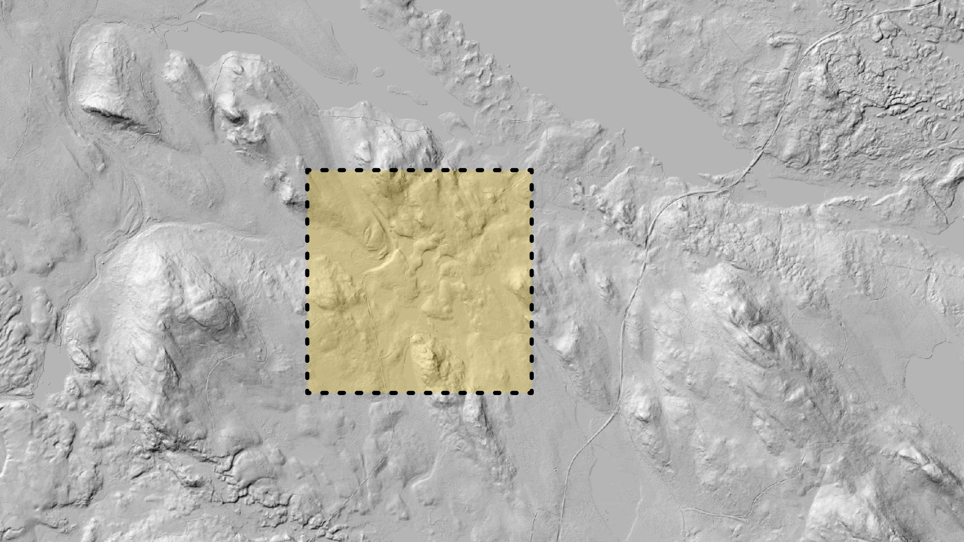
The first diamond core hole, GB202601, has been fully assayed and shows a continuous gold-bearing zone of 28.05 metres of drill length at 2.30 g/t Au, including an interval of 10.50 metres at 3.95 g/t Au. This is the same hole where visible gold was observed in May 2026 at a depth of 217.8 metres. The drilling programme comprised four diamond core holes, and assay results from the remaining holes are expected in August 2026. Previous permit holders have drilled more than 1,500 metres since 2007. Press release 26 June 2026 →

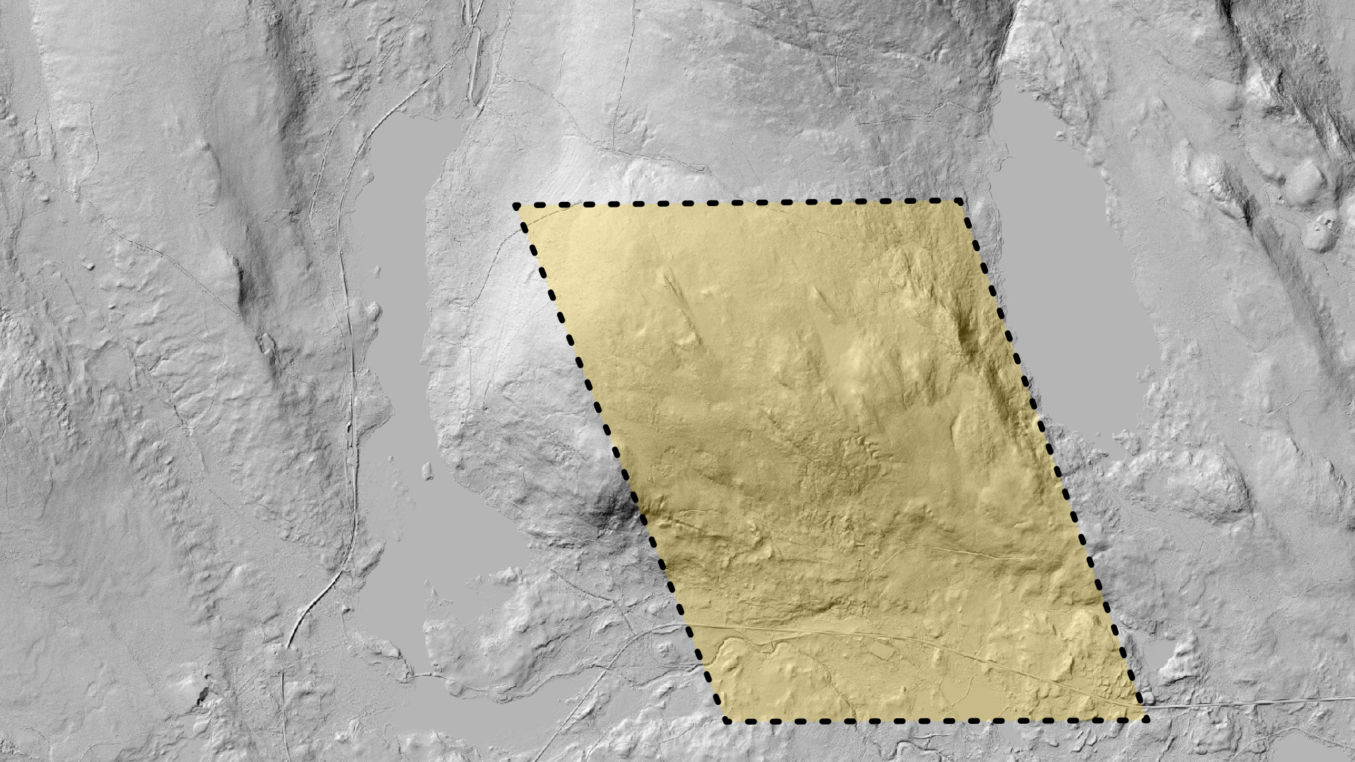
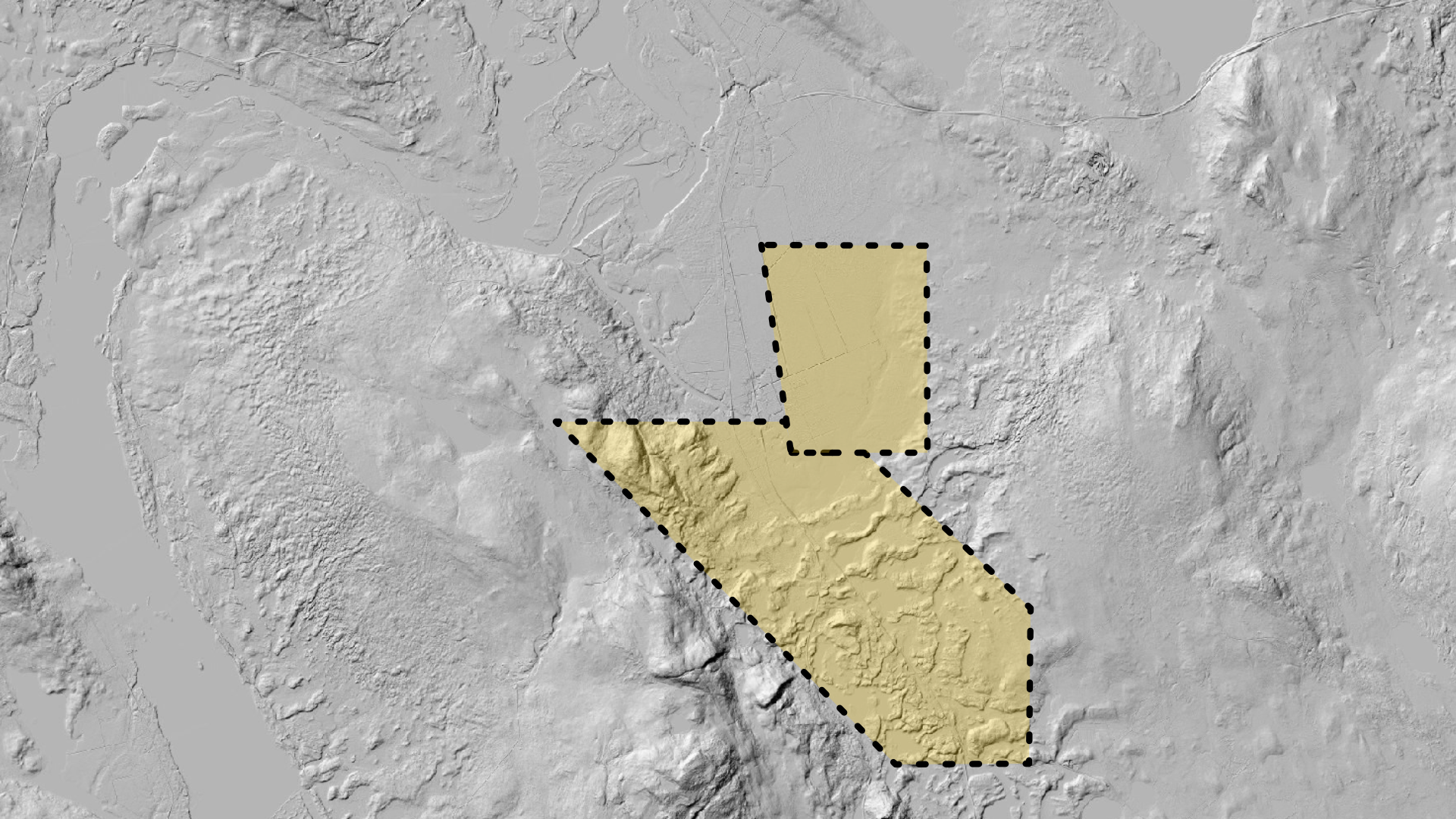
In July 2026, the Mining Inspectorate of Sweden (Bergsstaten) granted the Company’s application to extend the project with the exploration permit Nya Gilleberget nr 102 (reg. no. BS 200-947-2026).

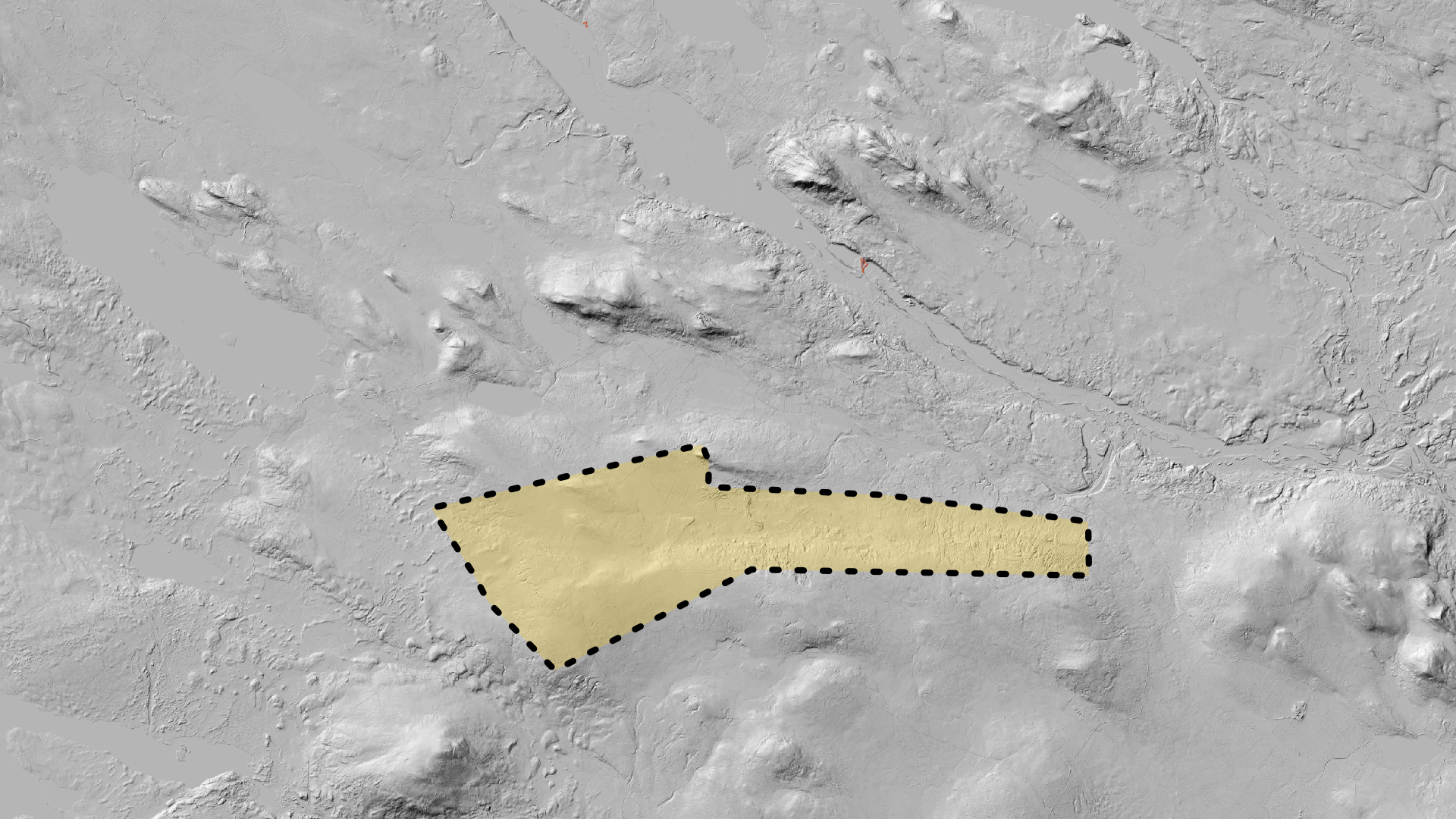
Historical context. Gilleberget lies about 50 km south of the Enåsen mine, where about 400 kg of gold was mined annually between 1984 and 1991.

Graninge

Outcrop 19 g/t Au
Bergsstaten · Graninge nr 1 + Graninge nr 2 (gold)
Municipality
Sollefteå
Region
Ångermanland
Status
Drilling programme planned
Map of Graninge

The Company’s prospectors Torbjörn Grahn and Ingemar Åslund identified glacial erratics outside Sollefteå with grades up to 6 g/t Au, as well as outcrops with grades up to 19 g/t Au. Five diamond core holes were drilled in early 2025, one of which showed a three-metre section grading 1.92 g/t Au. During the autumn of 2025, slingram surveys were begun to determine the placement of a continued drilling programme.

Field observation. An old prospecting pit (a small trial excavation) was discovered within the survey area, not documented in historical archives.

Löparen nr 1

Drilling completed, assays in progress
Bergsstaten · Löparen nr 1 (gold)
Area
400 ha
Region
Kristineberg
Status 2026
70 percussion drill holes completed
Map of Löparen

Part of the north-eastern Gold Line in the Kristineberg area. The Company has located an outcrop in the area that, on sampling, returned 4.11 g/t Au. During 2026, 70 percussion drill holes were completed (extended from the 64 planned), finished in April 2026. Assay results are awaited.

Historical context. Around 50 gold-bearing glacial erratics with an average grade above 7 g/t Au have been documented in the area around Vormträsk, but previous project owners did not succeed in identifying the source.

Svergoträsk/Tjålmträsk

Diamond core drilling 2026
Bergsstaten · Svergoträsk nr 2, nr 3 and Tjålmträsk nr 100 (gold)
Municipality
Sorsele
Region
Southern Lapland
Plan 2026
3 diamond core holes
Map of the Svergoträsk and Tjålmträsk permit areas

A coherent project area in the Sorsele district: the exploration permits Svergoträsk nr 2 and nr 3 together with Tjålmträsk nr 100. At Tjålmträsk, a glacial erratic with a gold grade of 350 grams per tonne has been found. A previous operator drilled a total of 38 holes in the early 2000s, of which 10 showed gold, but the boulders found cannot be explained by the mineralised areas identified. The Company plans to drill three diamond core holes during 2026 to find the source.

Ytterberget

Borehole geophysics planned
Bergsstaten · Ytterberget nr 1 + Ytterberget nr 2 (zinc, copper, silver)
Area
266 + 1,726 ha
ID
2015:88 + 2018:108
Content
Zn, Cu, Ag
Map of Ytterberget

A zinc base-metal showing. Two drill holes so far, one of which shows alteration similar to the Kristineberg ore, with streaks of zinc. At the centre of the area there is a 600-metre-long mineralisation previously estimated at 621,000 tonnes grading 2.8% Zn, 0.47% Cu and 28 ppm Ag by the State Mining Property Commission (Nämnden för Statens Gruvegendomar, NSG). Plan: borehole geophysics in one of the existing drill holes to search for larger mineralisation nearby.

Classification. The NSG estimate is historical and not verified under the PERC Reporting Standard (2021 edition). It is not a current mineral resource.

The permit process. An exploration permit is granted by the Mining Inspectorate of Sweden (Bergsstaten) under the Swedish Minerals Act. The permit confers the right to investigate mineral deposits within the area specified. Where a find is demonstrated, the Company may apply for an exploitation concession, which confers the right to extract minerals. An exploitation concession requires an environmental permit and a land designation before mining can begin.